Western Sichuan (川西高原) contains one of the world’s largest Tibetan Buddhist cultural areas outside the Tibet Autonomous Region — the Ganzi (甘孜) and Aba (阿坝) Tibetan and Qiang Autonomous Prefectures, covering an area larger than Germany at altitudes of 3,000–5,000 metres.
This region is culturally Tibet, geologically the Tibetan Plateau, and administratively Sichuan. The result is that it’s accessible without the Tibet Tourism Bureau permit required for the Tibet Autonomous Region — yet the monasteries, nomadic culture, and landscape are essentially the same.
Table of contents
Open Table of contents
Litang (理塘)
At 4,014 metres, Litang is one of the highest county towns in the world — and the proud self-described “capital of the sky” (天空之城). The Dalai Lama of the current lineage’s home area is near Litang; the town’s Tibetan identity is intense.
Litang Monastery (理塘寺/长青春科尔寺): The largest Gelug monastery in the region — a hilltop complex of assembly halls, monk residences, and chorten stupa courtyards. Approximately 700 monks in residence.
Litang Horse Racing Festival (赛马节): The most exciting nomadic festival in Sichuan — held in late July/early August when the grassland is at peak green. Tibetan horsemen from the surrounding nomadic areas compete in racing and mounted archery; traditional costume, prayer flag ceremony, and the extraordinary spectacle of hundreds of nomadic families camped on the grassland.
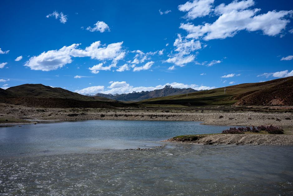
The grassland: The Maoyaduo grassland (毛垭坝) northeast of Litang is one of the most beautiful high-altitude plains in China — broad, flat, intensely green in summer, with yak herds visible in every direction.
Ganzi (甘孜)
The prefecture capital at 3,390 metres — a substantial Tibetan town with the Ganzi Monastery (甘孜寺) on the hilltop, active with monks, and the extensive old town below.
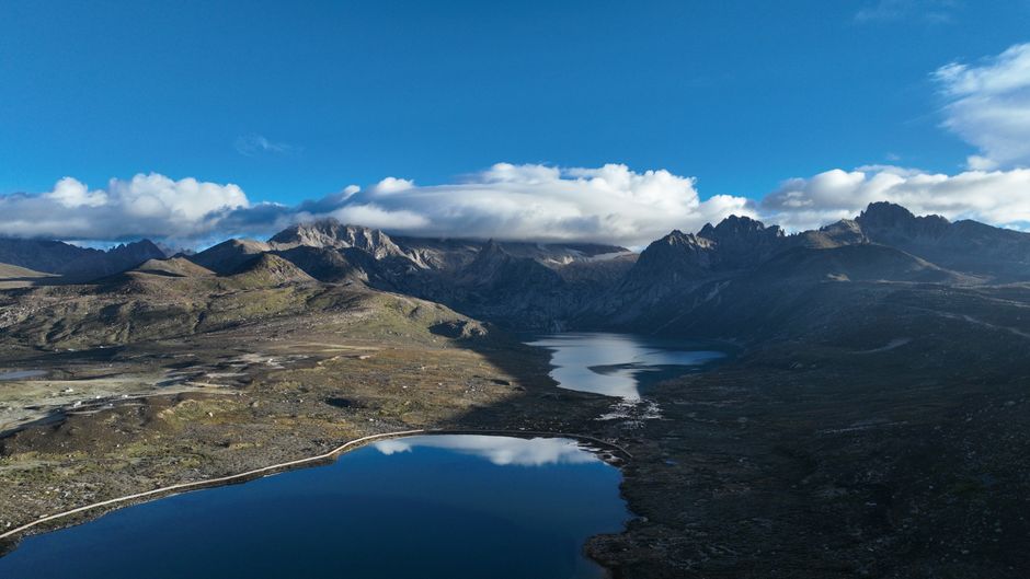
The road from Kangding (康定) to Ganzi: Following the Sichuan-Tibet Highway (G318) west — a drive of extraordinary beauty through river gorges, high passes, and the transition from Han Chinese agricultural landscape to Tibetan pastoral plateau. The Xinduqiao (新都桥) area is particularly celebrated for its photography: willow trees, whitewashed farmhouses, and the Gongga Massif (7,556 m) visible on clear days.
Kangding (康定)
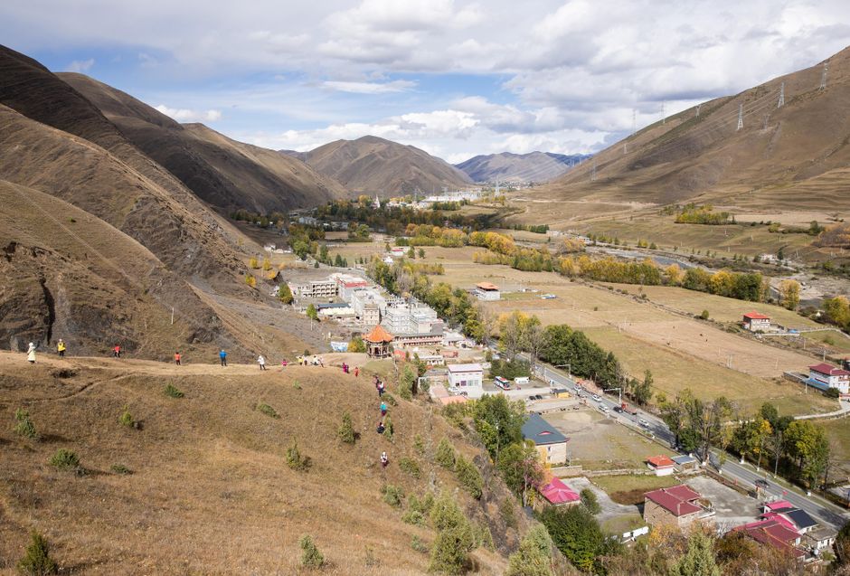
The eastern gateway to the Tibetan areas — where Han Chinese Sichuan meets Tibetan culture, at the point where the Luding chain bridge crosses the Dadu River. The old town stretches along the river; the surrounding mountains are dramatic.
Gongga Mountain (贡嘎山): At 7,556 metres, the highest peak in Sichuan and one of the most technically difficult mountains in Asia — approached via the Moxi (磨西) town and Hailuogou Glacier. The glacier descends to 2,850 metres — the lowest altitude glacier in Asia’s monsoon zone, surrounded by subtropical vegetation at the glacier tongue.
Practical Tips
Getting to Kangding: Kangding Airport (KGT) at 4,238 metres — one of the highest airports in China; flights from Chengdu (40 min). Or 6 hours by car from Chengdu via Luding.
Getting to Litang: 5 hours by bus from Kangding, or 8 hours by bus from Chengdu.
Altitude sickness: Litang at 4,014 m is serious altitude — genuine acclimatisation needed. Spend 1–2 nights in Kangding (2,560 m) or Tagong (塔公, 3,730 m) before proceeding to Litang.
G318 self-driving: The Sichuan-Tibet Highway (G318) from Chengdu to Lhasa — approximately 2,000 km — is China’s most celebrated self-drive route and motorcycle challenge. Allow 12–16 days; the section from Kangding to Mangkam (芒康, Tibet border) is the most dramatic.
Last updated: May 2026